SIRAD X
A system that uses satellite radars to track changes in native vegetation in the Xingu River Basin.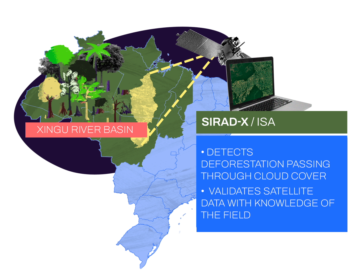
The Deforestation Detection Radar System (SIRAD) for the Xingu River Basin uses radar information provided by the Sentinel-1 satellite. This tool identifies changes in native vegetation even when the region is covered by clouds. Deforestation monitoring is done remotely – in some cases, inspections may be carried out in person. The Xingu River is born in the state of Mato Grosso and travels around 1.6 thousand kilometers until it flows into the Amazon River. Its basin has 531,000 km2 – almost the size of France. It is one of the most deforested regions in the Brazilian Amazon. Its watercourse was profoundly altered by the Belo Monte Dam, which also harmed indigenous and traditional populations as well as the conservation of biodiversity.