SAD
Tools developed to create monthly reports on the rate of loss and degradation of native vegetation in the Amazon and Caatinga.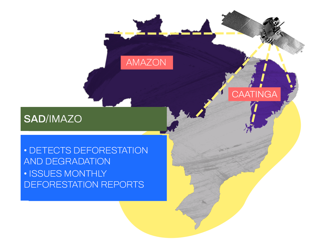
SAD (Deforestation Alert System) was developed by IMAZON (Institute of Man and Environment of the Amazon) in 2008 and offers monthly reports generated from satellite images that detect clear-cutting of primary forests and degradation of native vegetation in the Amazon in areas starting at 1 hectare. The SAD Caatinga (Caatinga Deforestation Alert System) was developed in 2021 by MapBiomas, State University of Feira de Santana (BA), and Geodatin to monitor, in an unprecedented way, the loss of native vegetation in the only 100% Brazilian biome. Covering mainly the Northeast and part of Minas Gerais, the Caatinga occupies 11% of the national territory (around 850,000 km²). It is home to rich biodiversity, being considered one of the most important arid areas on the planet. It suffers from deforestation, disorderly occupation, and unsustainable economic practices. Between 2000 and 2019, 105,179 km² were burned in the biome.
See also:
https://imazon.org.br/publicacoes/faq-sad/
https://www.camara.leg.br/noticias/759270-especialistas-apontam-queimadas-e-desmatamentos-cronicos-na-caatinga
https://infosaofrancisco.canoadetolda.org.br/noticias/regioes/imagem-em-destaque-paloma-costa-na-greve-mundial-pelo-clima-em-2020-foto-eric-mota/
https://g1.globo.com/ba/bahia/noticia/2021/06/28/bahia-e-o-estado-do-nordeste-com-a-maior-area-desmatada-em-2020-aponta-levantamento.ghtml