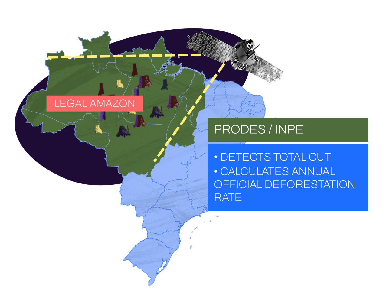
PRODES
Project which works on the official mapping of annual losses of native vegetation in the Legal Amazon.
PRODES (Project for Remote Deforestation Monitoring in the Legal Amazon) is a government initiative of the National Institute for Space Research (INPE) that monitors annual clear-cutting rates in the nine states of the Legal Amazon. It uses satellite images that observe losses of native vegetation with a resolution of at least 6.25 hectares and with an approximate accuracy of 95%. It has been active since 1988, and its open information is strategic for defining public policies to combat deforestation and the climate crisis, conserve biodiversity and traditional cultures, and guide socio-economic development plans. They are also useful for the certification of agricultural production chains, such as the Soy Moratorium and the Livestock Conduct Adjustment Term, the Meat TAC, and the validation of intergovernmental agreements in the climate and biological diversity areas, among other uses.


