Deforestation rate
Estimated or consolidated quantity of native vegetation lost in a given period and territory.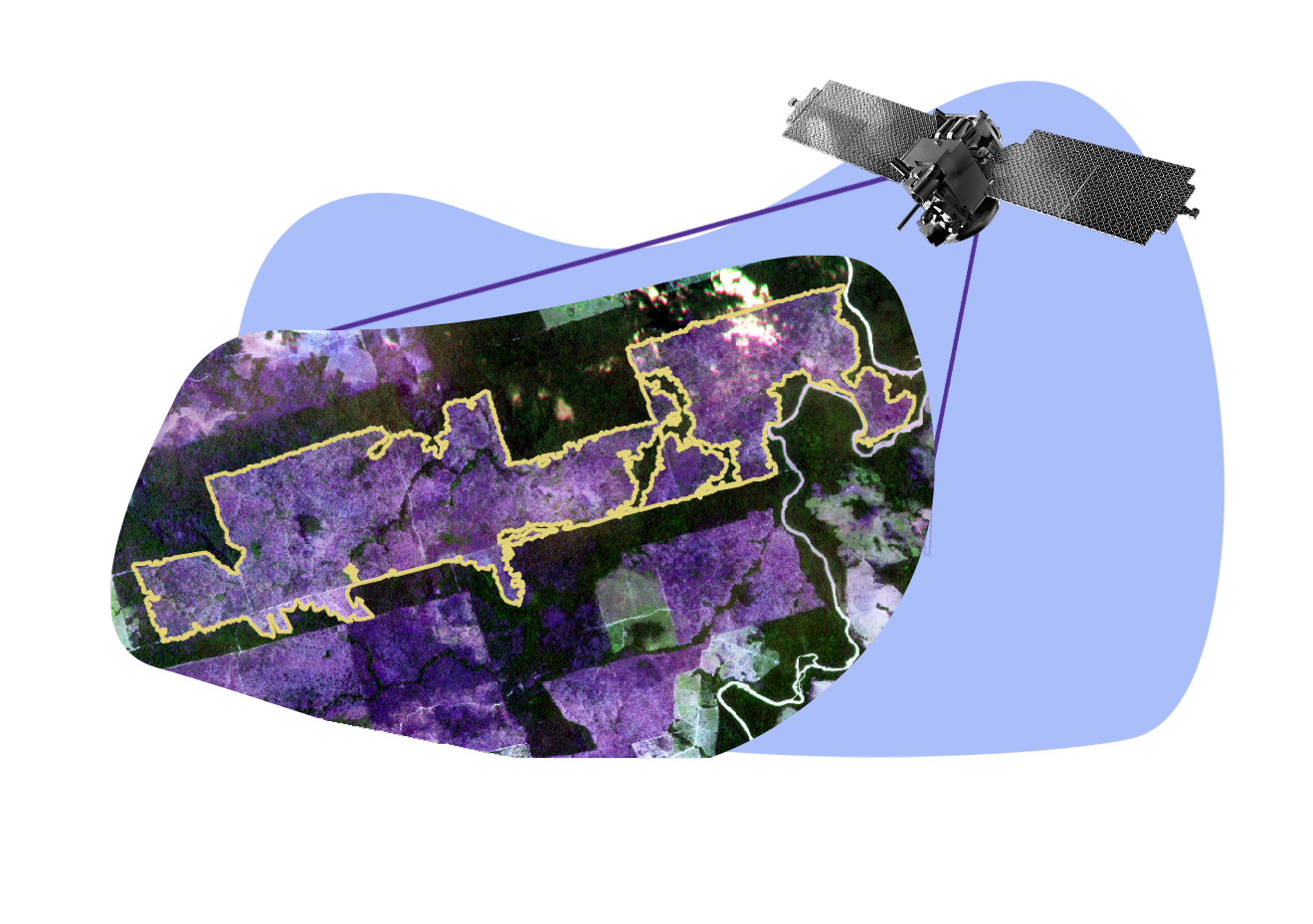
The estimated or consolidated amount of native vegetation lost in a certain period and territory is officially identified by systems such as DETER (Real-Time Deforestation Detection System) and PRODES (Satellite Monitoring Project for Deforestation in the Legal Amazon), from INPE (National Institute for Space Research), and also by tools from scientific and non-governmental institutions, such as the SAD (Deforestation Alert System), from the Amazon Institute of Man and Environment (IMAZON); the Atlas of the Atlantic Forest, by the SOS Mata Atlântica Foundation and INPE; and MapBiomas, which processes deforestation alerts from official, non-governmental and educational and research institutions to produce maps of land use and land cover in Brazil.
See also:
http://terrabrasilis.dpi.inpe.br/
http://www.inpe.br/noticias/noticia.php?Cod_Noticia=5811
https://amazoniareal.com.br/desmatamento-na-amazonia-avanca-para-areas-antes-intocadas/
https://desmatamento.infoamazonia.org/analise/ https://www.sosma.org.br/wp-content/uploads/2019/03/Metodologia-Mapeamento_atlas.pdf